-
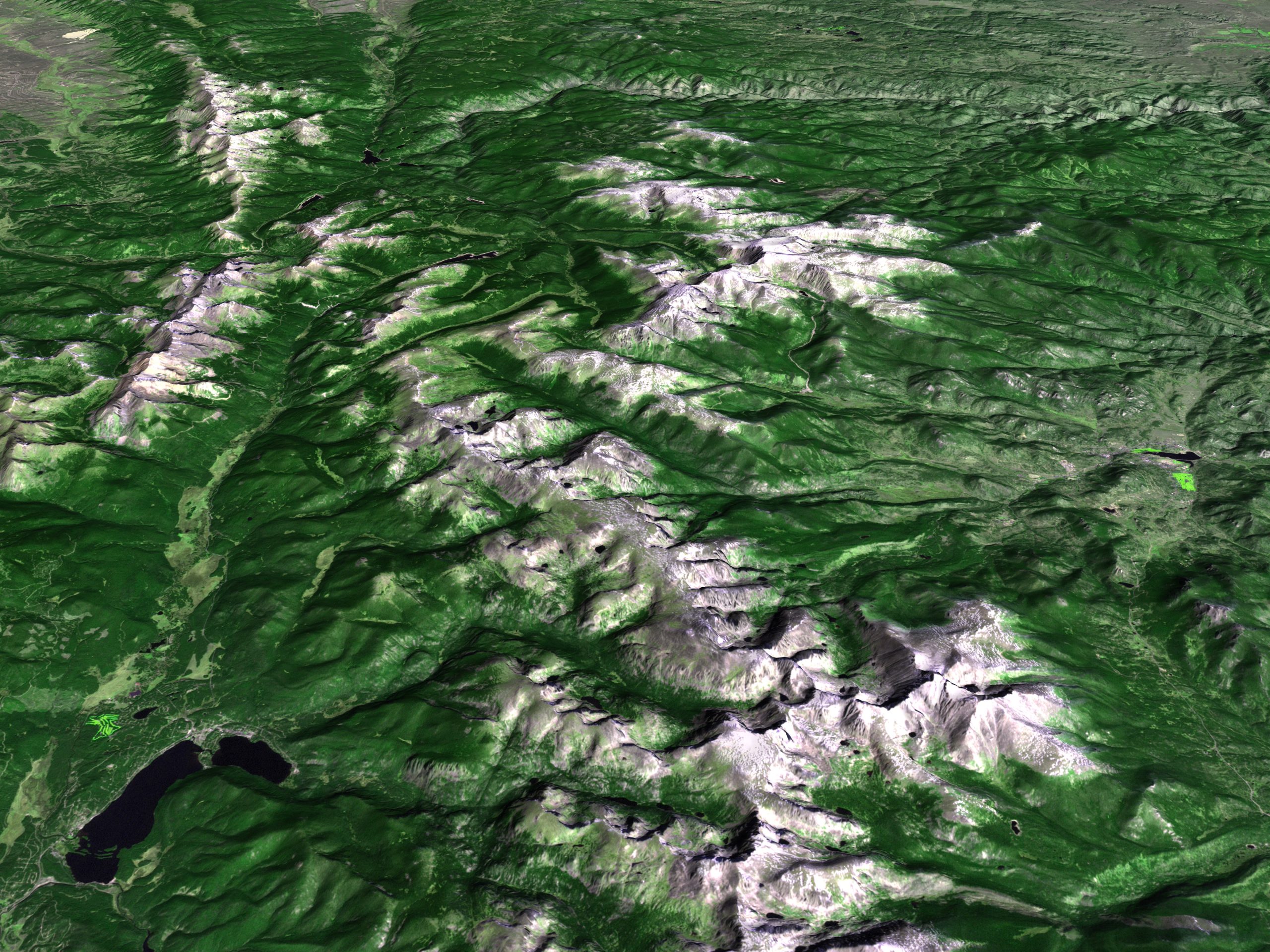
Discover how scientists use satellite imagery and drone technology to better understand and protect our planet. Dr. Sapana Lohani, a Geospatial Environmental Scientist at William & Mary’s Institute for Integrative Conservation, will share her research on the Mekong River Basin, where she studied how rapid deforestation transformed the landscape across four countries. Learn how remote […]
Get Tickets
$10.00 – $15.00